

Description
Product Overview
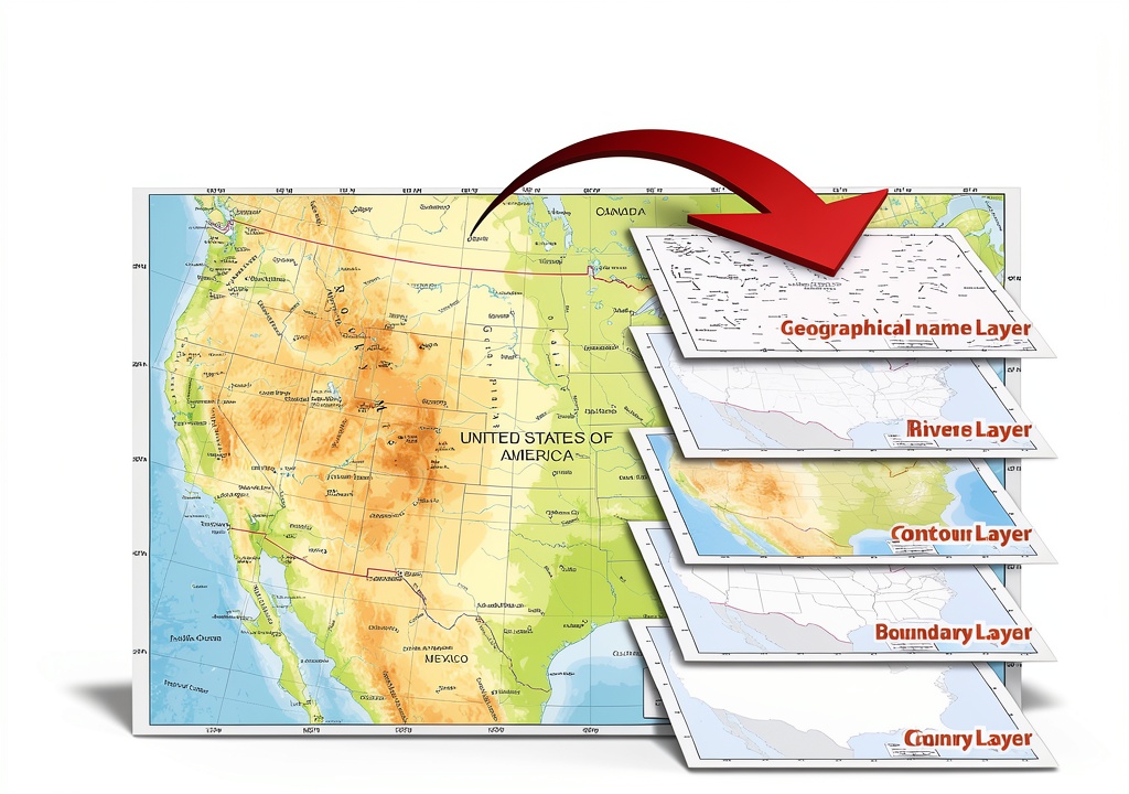
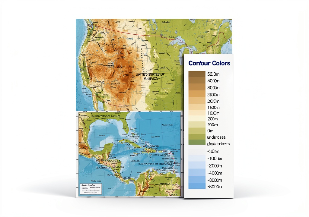
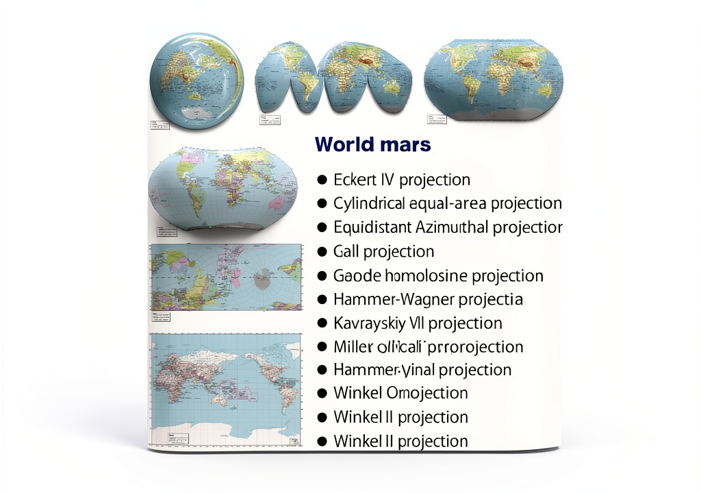
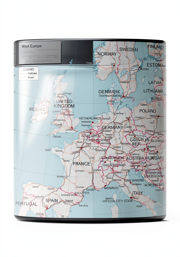
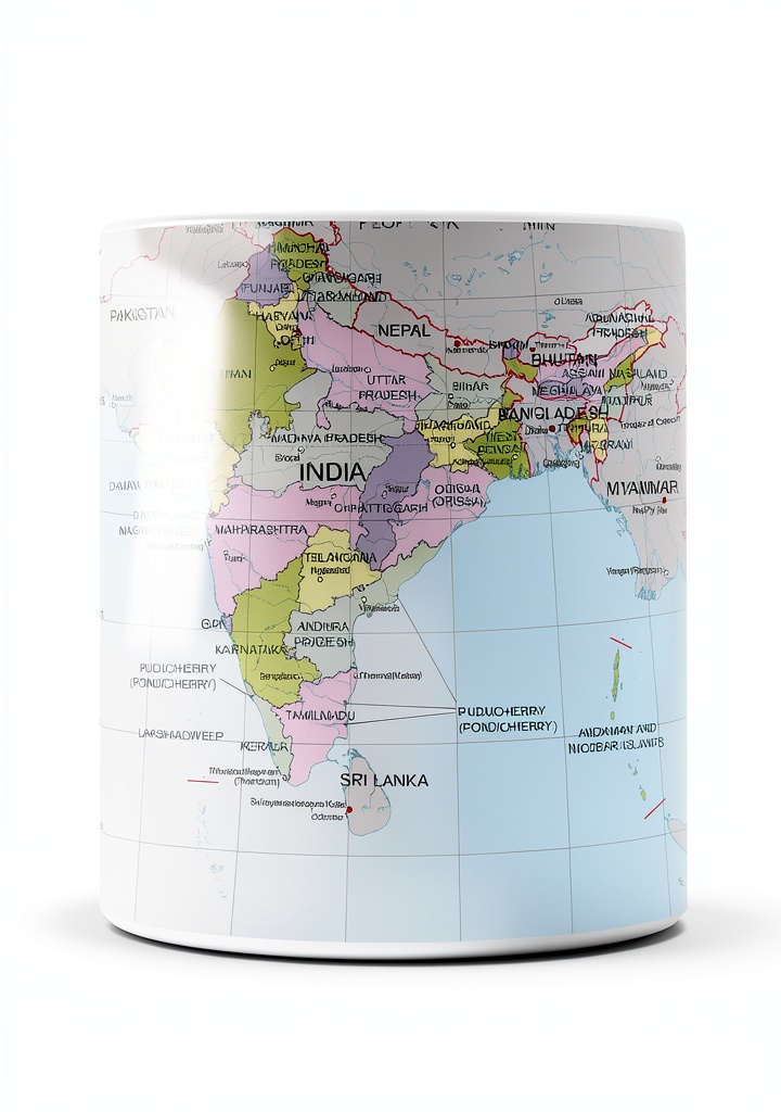
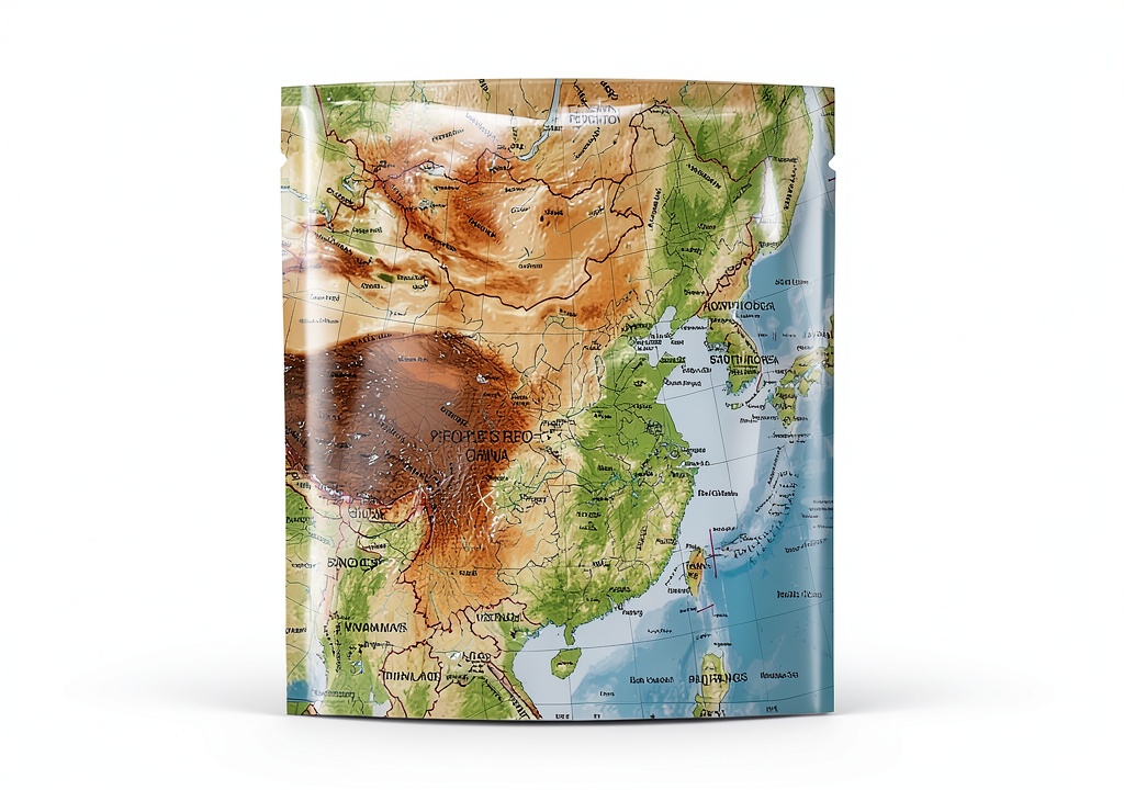
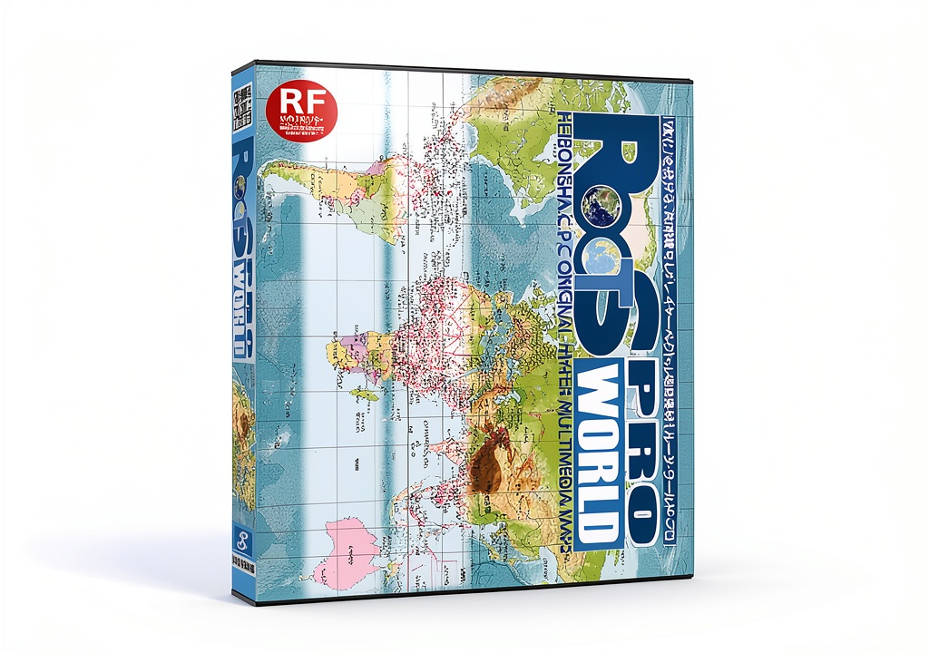
The Skill Informations World Map Pack is a comprehensive illustration resource containing 5,304 individual map items. Each map is delivered in two formats: Adobe Illustrator (AI) and high‑quality JPEG, both at 350 dpi resolution. The collection includes full‑world maps, detailed state outlines, and country‑specific data for all 196 nations, provided in English and Japanese versions. Package dimensions are compact, and the digital files are organized for easy integration into design workflows.
Usage
Designed for graphic designers, educators, publishers and cartography hobbyists, this pack supports a wide range of applications—from creating textbook illustrations and travel brochures to developing website graphics and printable posters. The dual‑language files enable seamless use in multilingual projects, while the high resolution ensures crisp results in both print and digital media.
Why Choose Us
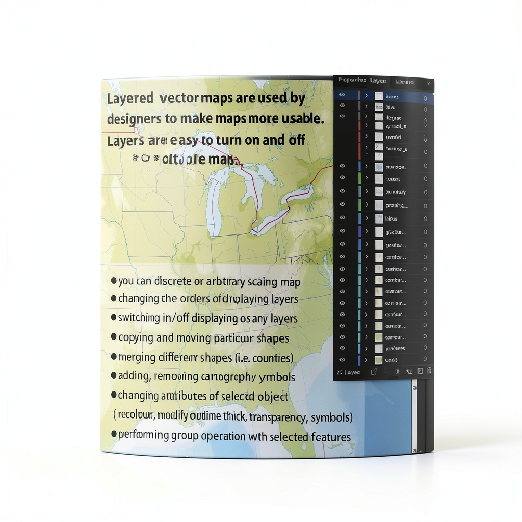
Skill Informations has a reputation for delivering precise, professionally crafted illustration assets. This map pack is continuously updated, free from manufacturer discontinuation, and backed by a best‑seller ranking in the Software and Illustration categories on major marketplaces. Users benefit from meticulously vectorized outlines that retain scalability without loss of detail, and JPEGs that are ready for immediate use.
Key Features
- 5,304 map items covering the entire globe, states and all 196 countries
- Two formats per item: AI (vector) and JPEG (raster) at 350 dpi
- Bilingual content – English and Japanese versions for each map
- High‑resolution white‑base maps ideal for overlaying custom graphics
- Organized folder structure for quick navigation and integration
FAQ
What software is required to edit the AI files?
The AI files are compatible with Adobe Illustrator and any other vector‑editing software that supports the AI format.
Can the JPEG images be printed at large sizes?
Yes, the 350 dpi resolution ensures that the JPEGs maintain clarity even when printed as large‑format posters.
Are the maps editable for color changes?
All AI files are fully editable, allowing you to modify colors, line weights and add additional layers as needed.
Is there support for additional languages?
The current pack includes English and Japanese. For other language needs, contact Skill Informations for custom solutions.
How are the files delivered?
Upon purchase, you will receive a downloadable ZIP archive containing the organized AI and JPEG folders.


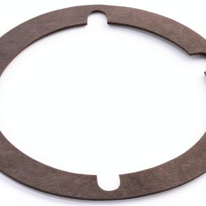 ACDelco Manual Transaxle Input Shaft Bearing Rubber
Reviews
There are no reviews yet.